Two parcels can both say “10 acres” and live like two very different properties. If you are eyeing land in Los Alamos or anywhere in the Santa Ynez Valley, that difference matters. You want space, privacy, and potential, but you also want clarity about what you can actually use and enjoy.
This guide breaks down what acreage really means in California listings, how local land in and around Los Alamos is configured, and what to check before you make an offer. You will learn how to read listings, compare parcels, and match land to your goals. Let’s dive in.
What acreage means in listings
Not all acres are equal. When you see acreage in a listing, it often refers to one of the following:
- Gross acreage: The full area on the deed or assessor parcel map. This can include steep slopes, roads, easements, and other unusable areas.
- Net or usable acreage: The land you can realistically develop or farm after subtracting easements, setbacks, riparian buffers, and steep slopes. This is not always listed unless a survey has been done.
- Assessor vs. surveyed acreage: County assessor records are common in listings, but a current boundary survey is the most precise tool. Ask which source the seller used.
- “Approx.” acreage: Marketing often says “approx.” Treat that as a prompt to verify with the deed, assessor records, and a survey if needed.
For context, 1 acre equals 43,560 square feet. Smaller lots may be shown in square feet and larger ones in acres. When in doubt, ask for both.
Common issues to watch:
- Non-buildable areas included in the total, such as creek setbacks or protected habitat.
- Parcel lines that include public or private roads or land under easement.
- Multiple APNs marketed as one “parcel,” or a single APN that reflects past lot merges or splits.
- Zoning and lot-size minimums not disclosed. Acreage alone does not guarantee the right to add units or subdivide.
Parcel types in Los Alamos
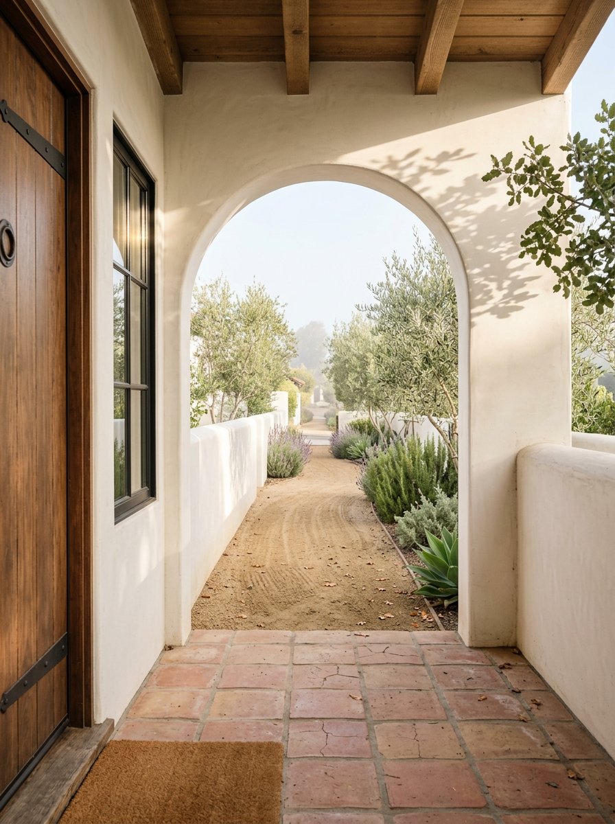
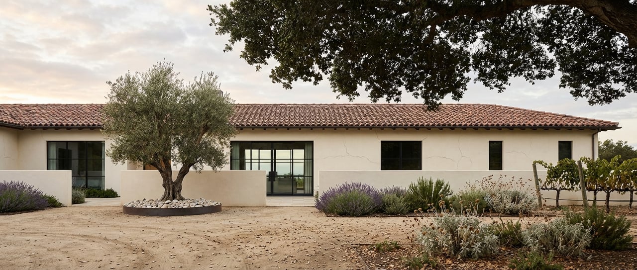
Los Alamos sits in Santa Barbara County’s Santa Ynez Valley. The land pattern reflects historic ranch boundaries, vineyard growth, and proximity to State Route 135 and Highway 101.
Small rural residential
These are often under 5 acres and appear closer to town centers or older subdivisions. They can offer an easy build site and quick access to services.
Rural estate lots
Parcels in the 5 to 20 acre range are common for privacy, hobby farming, or equestrian use. Usable flat benches are a key value driver.
Agricultural and ranch holdings
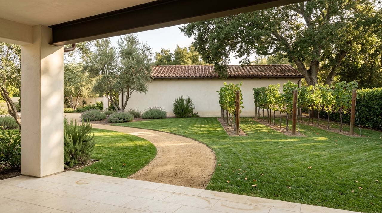
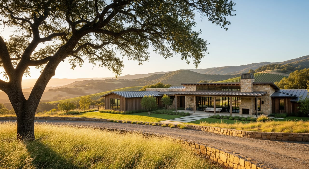
You will find 10 acre and larger properties for vineyards, orchards, or grazing. Farther from main roads, larger ranches stretch to tens or hundreds of acres with a mix of valley benches, rolling hills, and oak woodlands.
Shapes and configurations
- Flat benches and terraces: Often the most buildable and suited for vineyards and structures.
- Rolling hills with benches and ridges: Great views but less usable area and higher build costs.
- Narrow or irregular lots along creeks or hillside roads: May have smaller building envelopes due to setbacks and slope.
- Multiple APNs or legacy lot splits: Can add complexity to taxes and development rights.
Usability and value factors
Two parcels of the same size can have very different utility, costs, and enjoyment once you look closely at slope, soils, water, and services.
Topography and slope
- Buildable area: Slopes over roughly 25 to 30 percent reduce the practical building envelope and often trigger special reports or permits.
- Access and roads: Steeper or remote sites may require new driveways or upgrades. Creek crossings can require culverts or small bridges.
- Views vs. usability: Ridge sites trade expansive views for less flat land. Plan for higher grading and foundation costs.
- Fire risk: Slope and native vegetation influence wildfire behavior, which can affect insurance and design requirements.
Soils and drainage
- Septic feasibility: Percolation results drive septic approval and placement. Poor soils can limit where you build.
- Foundations and erosion: Soil type affects foundation design. Seasonal drainages can require engineered solutions and carry riparian buffers.
- Agricultural suitability: For vines and orchards, soil depth, drainage, and aspect matter for plant health and yields.
Water and rights
- Private wells: Common in rural Santa Ynez Valley. You should confirm well yield in gallons per minute, depth, and water quality.
- Shared wells and rights: Some parcels have recorded rights to shared water, water district membership, or rights-of-way. Others may rely on hauled water or cisterns.
- Groundwater governance: Local basins may be subject to management plans that affect pumping. Agricultural use, especially vineyards, can raise water demand significantly.
Utilities and services
- Electric: Overhead service is typical. Extending power to a distant building site can be costly.
- Gas: Propane is common outside sewered and piped-gas areas.
- Broadband: Coverage varies in rural areas. Confirm provider options by address.
- Wastewater: Septic systems are the default outside a few connected areas. Confirm feasibility early.
Match acreage to your goals
How you plan to use the land should drive what “enough acreage” means for you.
Private residence or hobby farm
A 2 to 5 acre parcel with a flat building pad, good access, and septic feasibility can be more practical than a steep 10 acre hillside. Focus on usable area, water, and defensible space.
Vineyard or orchard
Vine performance depends on slope, aspect, elevation, soil depth, drainage, and local microclimate. Benchlands often support mechanization, while terraced slopes can offer excellent exposure. Water supply and rights are essential for irrigation.
Equestrian or grazing
Look for flat turnout spaces, water infrastructure, fencing, and a plan for manure management. Stocking capacity depends on forage quality, not just acreage.
Subdivision or development
Acreage alone does not create entitlement. Zoning, minimum lot sizes, infrastructure capacity, and environmental constraints will determine if you can split land or add units. Engage county planning staff or a land use attorney before you model returns.
Key regulations to check
Santa Barbara County has clear rules that shape what you can do with your land.
Zoning and entitlements
Zoning and community plan policies govern permitted uses, densities, and minimum lot sizes. Ask the County Planning and Development Department for a zoning verification letter. Steeper sites often need grading permits and erosion control plans.
Environmental protections
- Oak woodlands: Significant tree removal may require mitigation or permits.
- Riparian corridors and wetlands: Setbacks and federal and state rules can limit development near creeks and wetlands.
- Cultural resources: Chumash and other archaeological resources are present across the valley. Surveys and mitigation may be required.
- Endangered species: Biological studies can be triggered if protected habitat is present.
Agricultural rules
- Williamson Act contracts: Lower taxes in exchange for limiting subdivision and non-agricultural uses. Confirm status with the county assessor and planning.
- Agricultural buffers and operations: Vineyards and farms have protections, and standard practices like spraying can affect nearby residential use.
Fire safety and insurance
Parcels in high fire severity zones must meet stricter defensible space and construction standards. Insurance availability and pricing can vary by location and vegetation.
Compare parcels with a checklist
Gather the right documents and data so you can compare values apples to apples.
Essential documents
- Assessor parcel map and APN list
- Recorded deed and legal description
- Preliminary title report showing easements, restrictions, and any parcel splits
- Boundary survey, or confirm the need to commission one
- Zoning designation and general plan land use, plus a zoning verification letter
- Recorded easements, rights-of-way, and any CC and Rs
- Septic feasibility and percolation test reports, or county requirements to obtain them
- Well logs, well yield and water quality tests, and any water rights or district records
- Soil maps and reports, and geotechnical studies for steeper sites or major structures
- Biological and cultural resource reports if applicable
- Fire hazard mapping and local fire district requirements
- Utility availability and estimated costs to connect
Comparison metrics
- Gross acreage versus estimated usable acreage, with key assumptions
- Slope breakdown: percent under 15 percent versus over 25 percent
- Location of major easements, utility corridors, and roads that affect use
- Water source type and documented capacity, including shared well agreements
- Septic status and percolation results
- Zoning and any Williamson Act contract status
- Proximity to paved roads, services, and fire response
- Environmental constraints, including riparian corridors and known cultural resources
Questions to ask early
- Is the listed acreage from the assessor, a survey, or an estimate? Can you share the deed, legal description, and APNs?
- What easements or agreements affect usable land?
- Is there a well? What are the documented yields and water quality results? If not, where could a well be sited?
- Has a percolation test been completed? Are there existing septic permits?
- Is the property in a Williamson Act contract or other land use agreement?
- Have prior geotechnical, biological, or cultural studies been completed?
Avoid common pitfalls
- Do not rely only on the acreage number. Verify with deed and survey.
- Do not assume water capacity. Get well data that supports your intended use.
- Watch for “acreage illusions” where steep slopes, setbacks, or easements reduce usable land.
- Factor in roads, grading, septic, and well costs when you compare per-acre prices.
- Check wildfire risk and insurance availability at the start.
- Talk to county planning before modeling any subdivision or added units.
Your next step
If you are comparing parcels in Los Alamos or across the Santa Ynez Valley, a disciplined approach will save time and money. Start with documents and site facts, focus on usable acres and infrastructure, and match the land to your intended use. A clear plan helps you move quickly on the right property and avoid costly surprises.
If you want a local, trusted advisor for ranches, vineyards, and acreage, connect with Laura Drammer for tailored guidance and access to curated opportunities.
FAQs
What does “usable acreage” mean in Santa Ynez Valley listings?
- Usable acreage is the portion you can realistically build on or farm after subtracting easements, setbacks, steep slopes, and protected areas.
How do I verify the true acreage of a Los Alamos parcel?
- Ask for the deed, legal description, APN map, and a recent survey. Compare those to assessor records and the preliminary title report.
What should I check about wells and water on rural parcels?
- Confirm well yield in gallons per minute, water quality, depth, and any shared rights or water district membership, plus irrigation needs for agriculture.
Can I plant a vineyard on any 10 acre parcel near Los Alamos?
- Not necessarily. Vines need the right slope, aspect, soils, drainage, and reliable irrigation water. Test the site before you plan.
What is the Williamson Act and how could it affect me?
- It lowers property taxes on contracted ag land but limits subdivision and non-ag uses. Verify contract status and terms with the county.
How do slopes impact building costs in Santa Barbara County?
- Steeper slopes reduce buildable area and can require more grading, specialized foundations, and additional permits and reports.